Web-based activities
My activities are primarily project-based, to get students to learn by doing. I try to replicate authentic situations as closely to real-life as possible when I am unable to put students in the actual situations. Often, I will use virtual scenarios, simulation-based activities, or augmented reality to simulate real-world issues they must address and potentially solve using critical thinking, creativity, collaboration, and communication.

|
|
|
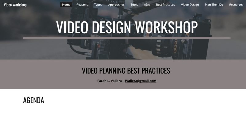
Instructional videos, Conference presentations, and webinars
|
|
|
|
|
|
the lab and student work
Click on the ThingLink image to tour the Active Learning Lab. View the ArtSteps tour to view examples of student work and testimonials about the Instructional Technology and Design program I managed.
|
|
|
sample syllabi
|
|
|
|
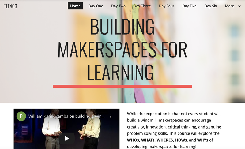
Modules, courses, and Workshops
AGLIT - a fully integrated stem curriculum
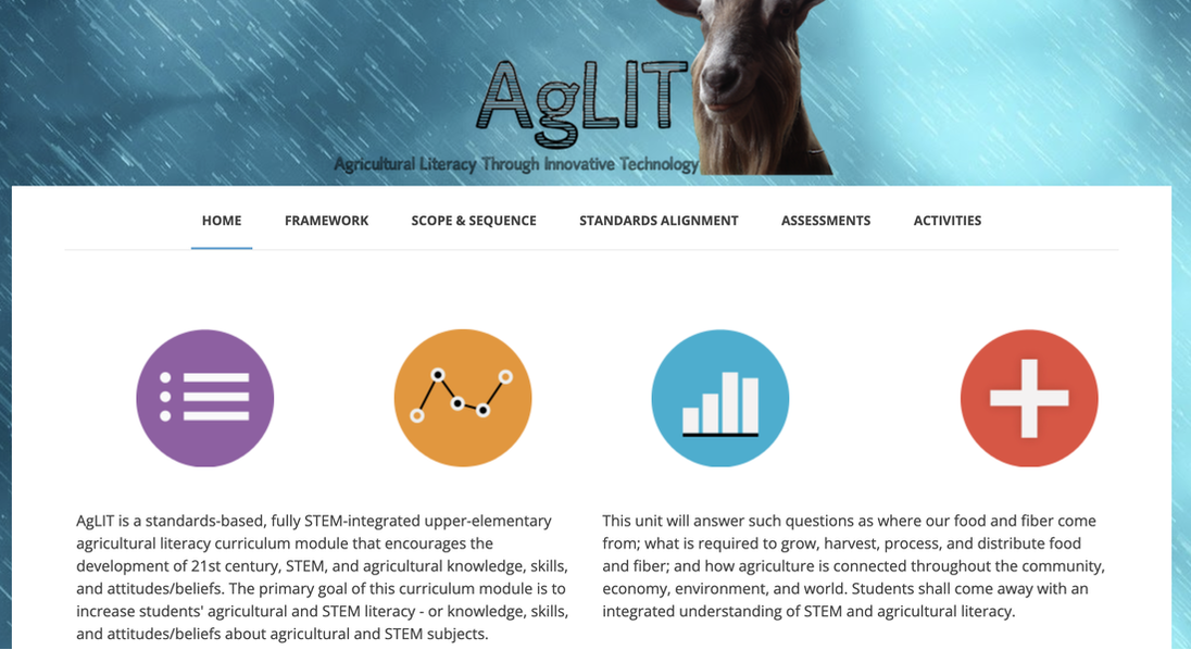
AgLIT is a standards-based, fully STEM-integrated upper-elementary agricultural literacy curriculum module that encourages the development of 21st century, STEM, and agricultural knowledge, skills, and attitudes/beliefs. The primary goal of this curriculum module is to increase students' agricultural and STEM literacy - or knowledge, skills, and attitudes/beliefs about agricultural and STEM subjects.
|
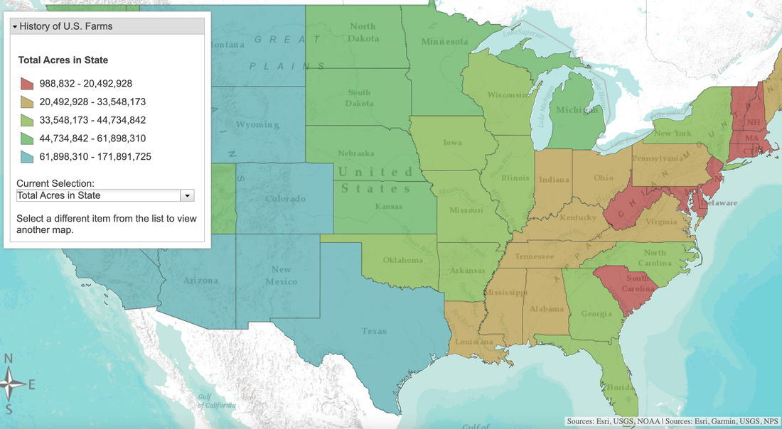
Student groups were hired to analyze historical data about U.S. farms and then make predictions about the future of farming in Pennsylvania. What did they notice? What has changed over time? And how did they predict the future of Pennsylvania agriculture? Web GIS was used to explore historical farm data gathered by the U.S. Census Bureau during 1850, 1900, 1950, 2000, and 2010.
|
Certificate and Institute development
|
|
|
|
I created a new graduate certificate program in the College of Education. The highlighted courses were also created and included for selection in the certificate program.
|
I developed the outline and initial plan for an Adult Learning Institute in the College of Education. Unfortunately, the pandemic and funding did not allow for its completed development.
|